


les Champis

stef789
User GUIDE
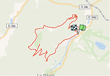

Length
11.3 km

Max alt
1177 m

Uphill gradient
371 m
Km-Effort
16.2 km

Min alt
878 m

Downhill gradient
375 m
Boucle
Yes
Creation date :
2019-12-28 09:56:34.115
Updated on :
2019-12-28 14:06:38.776
4h05
Difficulty : Very easy

FREE GPS app for hiking
 SityTrail
IGN / Geographical institutes
SityTrail Plus
The world is yours!
About
Trail Walking of 11.3 km to be discovered at Grand Est, Vosges, La Bresse. This trail is proposed by stef789.
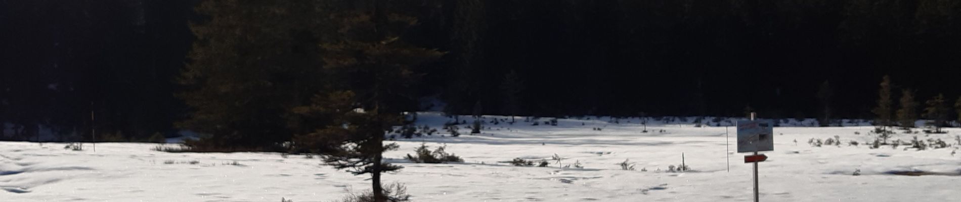
Photos


Positioning
Country:
France
Region :
Grand Est
Department/Province :
Vosges
Municipality :
La Bresse
Location:
Unknown
Start:(Dec)
Start:(UTM)
348547 ; 5322384 (32U) N.
Comments